Geography
|
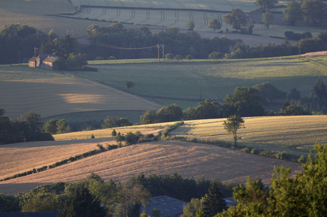
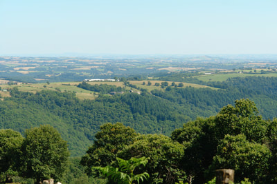
La Maleyrie is actually a place-name (lieu-dit) for two properties overlooking and part of the unspoiled Viaur valley; the border between the departments of Aveyron and the Tarn. It is in the commune of La Salvetat-Peyralès and part of the Department of the Aveyron (known previously as Rouergue), itself within the massive region of Occitanie. The Segala denotes this area of plateau divided by many rivers and streams. It extends from the lakes and mountains of Levezou to the valleys of the Aveyron and Viaur and is known as ‘the country of a hundred valleys’. It takes its name from the growing of rye (seigle) which was a staple and prospered on the acid soils. Only with the industrial revolution and the building of the railway viaduct over the Viaur did it become possible to import lime in sufficient quantities to support the more varied agriculture of today. The Segala is a limestone plateau and part of the Massif Central- the huge area of South Eastern France that was once an enormous mountain but long dismantled by geological time. The erosion of the limestone plateaus by water action has produced the gorges and cave structures in the region and the peculiarity that a short drive up a slight incline culminates in arriving at ‘mountains’ that do not appear to be steep but are at heights to compare with Snowdon or Ben Nevis.
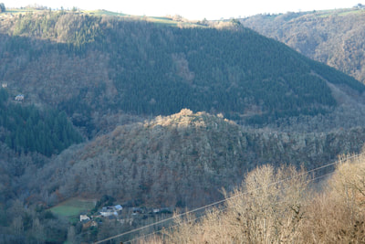
The climate also has its own personality, not least that the weather can sometimes be seen coming along the valley. In spring and autumn the climate is oceanic so not dissimilar to that in much of the UK. In winter the weather is continental and can be severe. In the summer the prevailing wind direction sustains a Mediterranean climate. Difference in height above sea level is also important- in winter it can be snowing some 15 minutes away at Rieupeyroux (elev. 700 metres) and sunny here (elev. 300 metres). The valley became wild as local communities moved during the 19th century to live on the plateau itself. It has been estimated that 120,000 people also left Aveyron between 1850 and 1914 for destinations such as Argentina and the United States. It is a natural habitat dominated by pine and deciduous forest and woodland and inhabited by deer, boar, a rich bird population and other wild animals. Foraging for fungi is a popular local activity. There is still much evidence of the abandoned vineyards, water mills, chestnut groves, pathways, terraces, habitations and even a river port from this former existence. |
|


